Geographic Information Systems

Unlocking Property Potential with Advanced GIS Solutions

Soltesz offers cutting-edge Geographic Information Systems (GIS) services, enabling detailed property analysis, strategic planning, and visualization with customized data overlays for informed decision-making.

Choosing Soltesz for GIS services means accessing

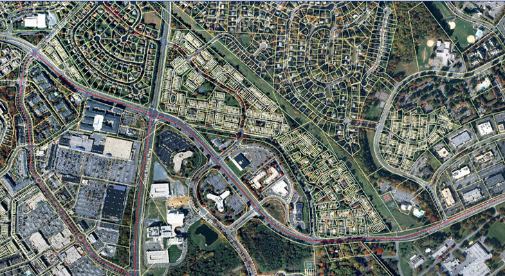
Soltesz harnesses the power of Geographic Information Systems (GIS) to transform property search and development planning into a precise, informed process. Our GIS capabilities enable clients to explore properties under various conditions such as zoning, size, constraints, value, and location, with unparalleled accuracy. By integrating yield studies and lot layout plans onto base plans, GIS becomes an indispensable tool for visualizing how proposed projects align with their intended properties and surroundings. With the ability to layer multiple data sets - from topography and soils to utilities and zoning - Soltesz's GIS services provide a comprehensive view, revealing opportunities and informing strategic decisions.

  • Comprehensive Data Analysis: Multi-layered overlays including property ownership, tax information, wetlands, and more for in-depth property analysis.
  • Strategic Project Planning: Utilize GIS for yield studies and layout plans to see how your vision fits within a property and its context.
  • Customized GIS Solutions: Tailored overlays to meet specific project needs, from environmental assessments to utility mapping.

Enhance your property search and development strategy with Soltesz’s advanced GIS solutions.

Our Services

Empowering Decision-Making with Advanced GIS Technology. Soltesz offers a range of GIS services designed to support every phase of property selection and development planning.
Acquisition, Maintenance, and Analysis of Spatial Data
Feasibility and Due Diligence Studies
Forest Stand Delineations
Interpretation of Remotely-Sensed Images
Property Owner Identification/Notification
Slope & Soil Analysis
Statistical and Thematic Maps
Wetland Delineation Studies

Our Experts in

Geographic Information Systems

No items found.

Latest News about

Geographic Information Systems

No items found.
Thank you! Your submission has been received!
Oops! Something went wrong while submitting the form.
CONNECT WITH US